Our Mission
Turning complex data into clear sight
GeoClarET was founded to solve a specific problem: the gap between high-level scientific research and day-to-day industrial operations. We believe that smart data should lead to safer, greener choices every day.
Our goal is to build a collection of tools and ideas that continue working for the world, solving real problems for those on the ground in demanding sectors like forestry and utilities.
Core Principles:
- Scientific Rigor: Moving past "black box" solutions to evidence-based outcomes.
- Operational Safety: Using precision data to reduce institutional and operational risk.
- Legacy of Impact: Creating work that solves real-world problems and continues delivering value over time.
Who We Serve
Grounded evidence for data-rich, risk-sensitive landscapes
GeoClarET supports organizations working in operationally complex environments, especially where decisions must be defensible, transparent, and grounded in empirical evidence. We partner across sectors with:
- Forestry Management Research: Organizations seeking clarity in regeneration, inventory, treatment effectiveness, and disturbance dynamics.
- Utilities & Infrastructure Operators: Teams managing vegetation risk, ensuring asset safety, and optimizing corridor-level monitoring.
- Environmental & Natural Resource Agencies: Public and private entities navigating climate-driven uncertainty and large-scale monitoring.
- Technology, AI, & Geospatial Teams: Engineering innovators building or validating models that must remain reliable under real-world conditions.
- Research Institutions & Government Programs: Teams advancing applied science, model governance, and complex operational decision systems.
Core Expertise
A multidisciplinary approach to GeoAI
Led by a Lead Scientist and Technical Advisor with over 25 years of experience, GeoClarET combines expertise in Earth Observation, Applied Artificial Intelligence, and field robotics. This multidisciplinary foundation shapes how we design decision systems, evaluate technologies, and support operational teams.
Meet Our Lead Expert
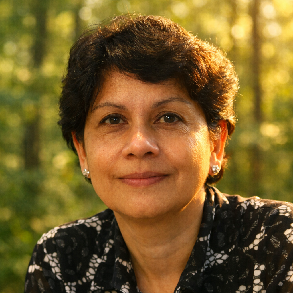
Udaya Vepakomma, Ph.D. - Founder & Lead Scientist
Udaya Vepakomma, Ph.D., is a lead scientist and strategic advisor with more than two decades of experience at the intersection of applied AI, remote sensing, and spatial intelligence. Her career spans national research programs, government agencies, and industry collaborations across forestry, utilities, environmental monitoring, and operational decision systems.
A recognized leader in UAV‑based LiDAR, multi‑sensor fusion, and GeoAI, Udaya has developed and led numerous innovations now used in operational forestry. Her work includes over 30 peer‑reviewed publications, 90+ technical reports, and leadership roles on scientific committees for SilviLaser, the Canadian Symposium on Remote Sensing, and the Earth Observation Summit.
GeoClarET is the natural extension of this work. Her approach blends deep technical expertise with strategic clarity, ensuring that organizations can make safer, more sustainable choices. At its core, her mission is to transform complex technical data into clear, actionable sight.
Collaboration
Where expertise meets partnership
Collaboration is central to GeoClarET’s identity. We bring together universities, researchers, industry partners, and provincial agencies to develop solutions that are rigorous in science and effective in practice.
Every project is a partnership that is shaped by shared expertise, mutual trust, and a commitment to responsible decision‑making. Collaborate with us to advance meaningful real-world impact.
Work With Us