
Our Philosophy
Start with the decision, not the data
GeoClarET helps organizations navigate complex natural and built environments by combining applied AI, remote sensing, and spatial intelligence with deep operational understanding. Forests, utility corridors, and industrial landscapes behave as interconnected systems where uncertainty and environmental noise often obscure whether strategic actions are working.
We operate with a fundamentally different way of framing problems. Instead of treating resource management as a series of static, linear check-boxes, we view it as an active, evolving experiment balancing transparent scientific rigor with operational agility to design truly resilient workflows.

Core Pillars
The framework driving every deployment
- 1. Embrace Uncertainty - Start with the Decision We don’t ignore the unknown, we isolate it. We begin by clarifying the precise operational question, risk, or regulatory constraint that matters most. This ensures every model, pipeline, or workflow is explicitly engineered around high-stakes real-world decisions rather than abstract analytics.
- 2. Systems Thinking for Complex Landscapes Natural and built systems do not exist in a vacuum. We explicitly analyze how disturbances propagate, how interventions shift risk, and how data streams interact across scales. By evaluating reciprocal feedback loops, we ensure solutions hold up under terrain, foliage, sensor limitations, and the day-to-day realities of operations.
- 3. Rigorous Hypotheses - Evidence Over Assumptions Our work is grounded in transparent, defensible science backed by over 30 peer-reviewed papers. We build clear, testable assumptions into your workflow, emphasizing strict traceability, validation, and quantified uncertainty so that management actions are driven by empirical evidence, not intuition.
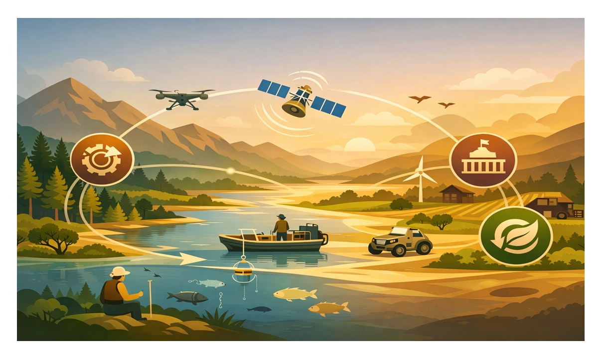
- 4. Iterative Learning Cycles - Closing the Loop Data is useless without action. Inspired by adaptive management, our engagements follow a rigorous, cyclical learning loop: Diagnose → Design → Test → Refine → Operationalize. We deploy adaptive AI models, like STEMS, SpeciesNet, and SBW-AIDD - that continuously ingest fresh field data to dynamically improve predictive accuracy over time.
Value delivered
Evidence-based outcomes across high-stakes industries
A visual snapshot of the value GeoClarET delivers across sectors
- Decades of research distilled into practical, defensible decision tools.
- 60–70% Reduction in field survey effort using UAV-LiDAR workflows (STEMS, STEMS-SEG).
- Adaptive AI Models (SBW-AIDD, SpeciesNet) that continuously improve and refine with new data.
- 5+ Operational Tools successfully deployed and proven in real-world environments.
- 30+ Peer-Reviewed Papers underpinning our baseline scientific credibility and reasoning.
- $38M+ in supported R&D across national and provincial programs.
Operational Resilience
Built for long-term internal capability
By embedding this iterative loop into your organization's workflow, GeoClarET delivers clarity where it is needed most. We move past passive compliance to strengthen your internal capability, ensuring your teams deeply understand their data, accurately evaluate emerging technologies, reduce long-term risk, and act with complete operational confidence and resilience.